Thursday, July 30, 2009

Zach is back

I am not very good at doing updates.

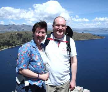
Zach made good progress. He used the tools here and then went to Bolivia in July. He captured track information with the GPS and loaded it into another using Mapwel.
Friday, November 14, 2008

Another meeting with the folks at St Thomas

I keep forgetting to update the blog when I do stuff.

Last night I met with Bob, Catherine, and Zach at St Thomas. Zach is a student who is doing some great work on the project. Catherine run the GIS lab.

We talked about what I expect to get out of the project. It seems like we always run out of time.

Bob showed me the cover of his book.

Monday, August 18, 2008

See all the projects at once

I have been working on getting the brochures into the system. I also cut the picture off and use that.

Today I thought, "How about showing all the pictures at once?". I created a new PHP file and had it working rather quickly. A few tweaks here and there and you can navigate to the project the image is for.

I should probably not show them all at the same time.

Sunday, August 3, 2008

Free GIS tool

I found this software a while ago. Have not used it.

MapWindow GIS Open Source Software

The MapWindow application is a free, extensible, geographic information system (GIS) that can be used:
  • As an alternative desktop GIS
  • To distribute data to others
  • To develop and distribute custom spatial data analyses


http://www.mapwindow.org/

Meeting with Bob Werner

Last week I met with Bob Werner of UST. I told him more about Mano a Mano.

Then I told him about the mapping project. First to get cities and major road data for GPSes. But in the future to get the small roads. Especially with Mano a Mano Bolivia's help.

He was quite interested. I left him the data I had collected with cities. He will get a student to get it into a format for GPS.

Thursday, July 24, 2008

New clinics

Earlier this week I added two new clinics. Nate emailed me copies of the brochure that was handed out at the dedications. I have these on line now.

Wednesday, June 4, 2008

On the mapping side

A month or so ago Bob Werner from St Thomas gave a talk about Bolivia at Unity Church. He is a geography professor at St Thomas. This finally sank in when I was labeling the DVD I made of his talk.

I sent him an email about maps for Bolivia. He was interested and actually works on this at the school. We will get together when he returns in a few weeks. It would be great to get some knowledgeable help with making maps.